Protect your legacy with DigiRea
Unlock the Future of Land Management Digitize, Secure, and Value Your Property with Digi Rea!
Your land is not just a piece of earth—it’s a legacy, a gift from generations before you, and a symbol of your heritage. It holds history, value, and identity. In a rapidly changing world, securing and managing it wisely is more important than ever.
Your Land. Digitally Secured.
- Watch the Full Video
Our Other Services
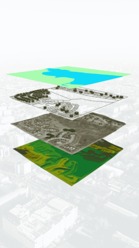
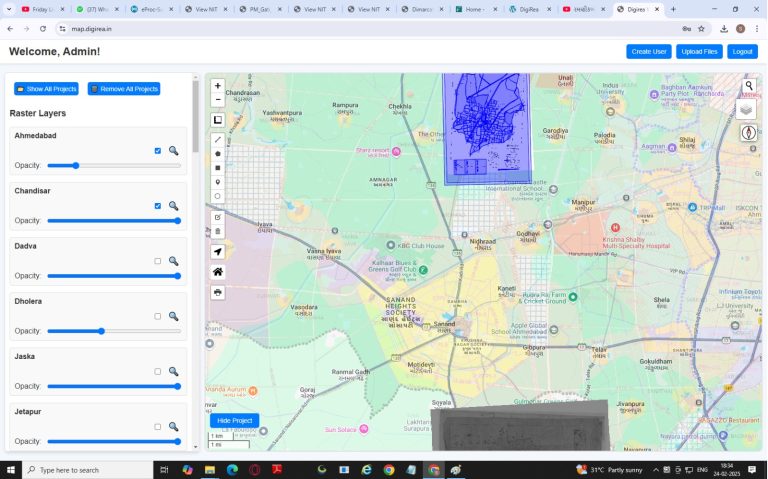
Land Management System
Geospatial Analysis
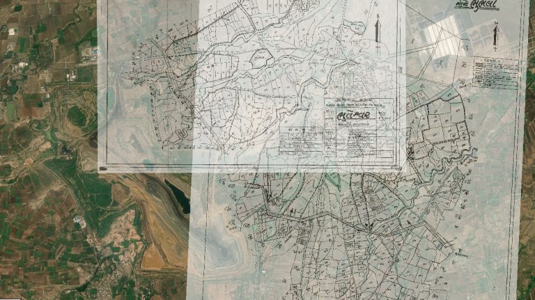
Cadastral Survey
GIS Mapping
DTM, DSM, and DEM Modelling
3D Modelling and Digital Twin City Survey
DGPS Survey
Drone Survey
Smart & Reliable Digital Land Management Solution!
- Get a clear and accurate view of your property anytime, anywhere.
- Avoid disputes and define your land ownership with precision.
- Stay informed about the market worth of your land.
- Keep all legal papers in one secure digital space.
- Monitor infrastructure growth and local changes that can impact your land’s value.
- Stay updated on important changes related to your land, documents, or property status in real-time.
🔒 Digi Rea isn’t just technology
it’s a promise to safeguard your land, your identity, and your future!
Whether you’re a farmer, developer, or property owner, Digi Rea ensures your land is protected, organized, and future-ready.
Here’s what Digi Rea helps you with
- See your land on digital map
- Manage all documents safely
- Mark your boundaries clearly
- Get updates on nearby changes
- Check your land’s value
- Avoid land disputes and legal trouble
DigiRea is ideal for
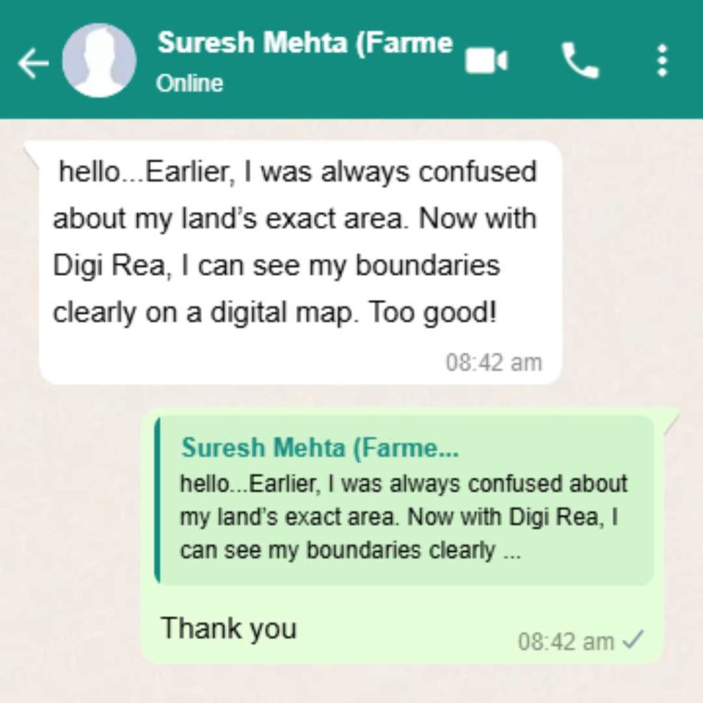
Farmers
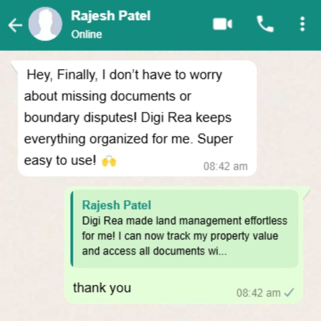
Property Owners
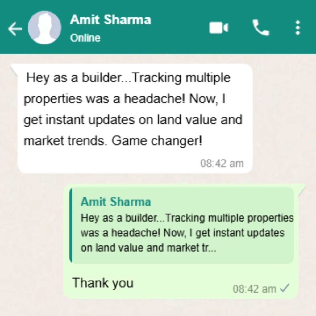
Builders & Developers
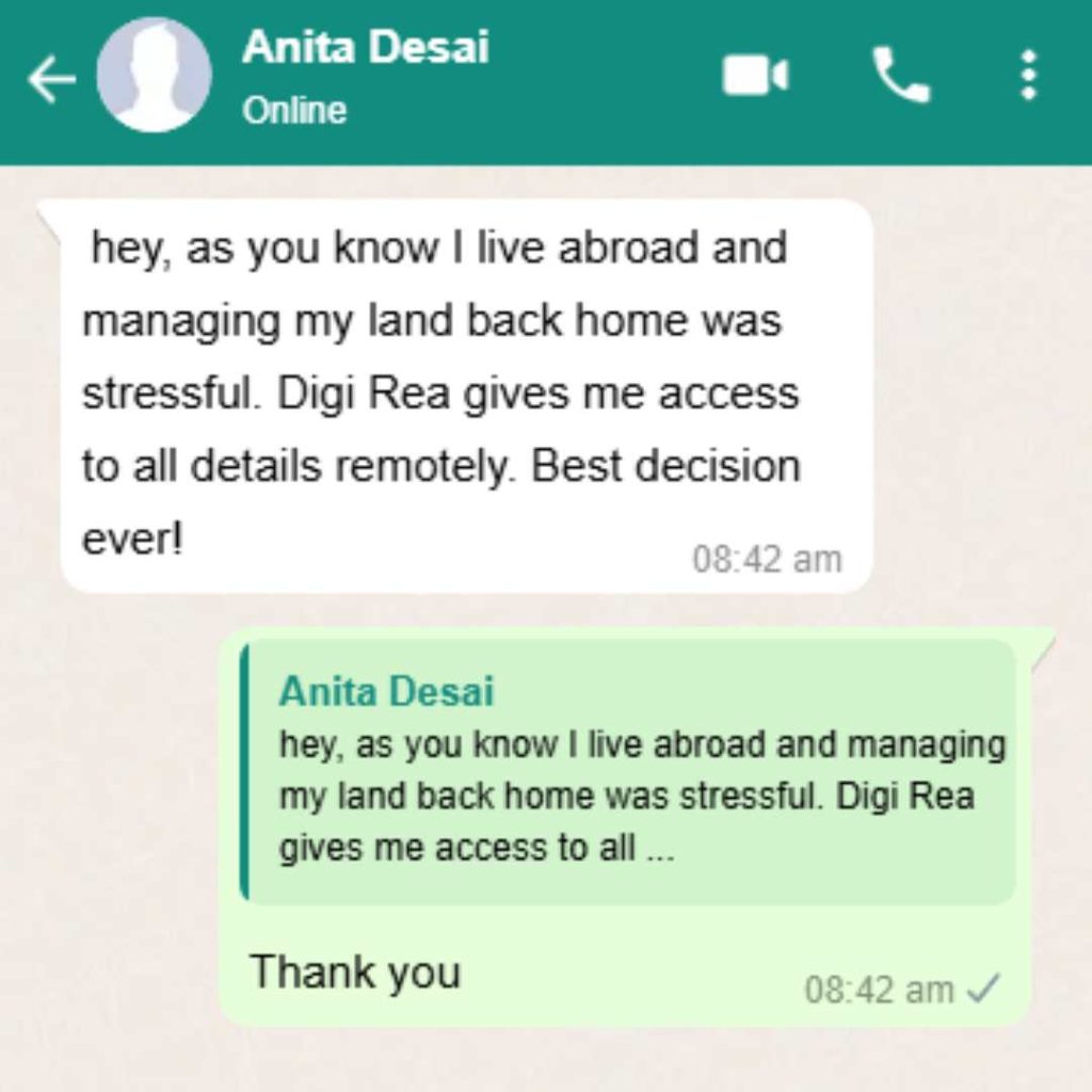
NRIs (Living Abroad)
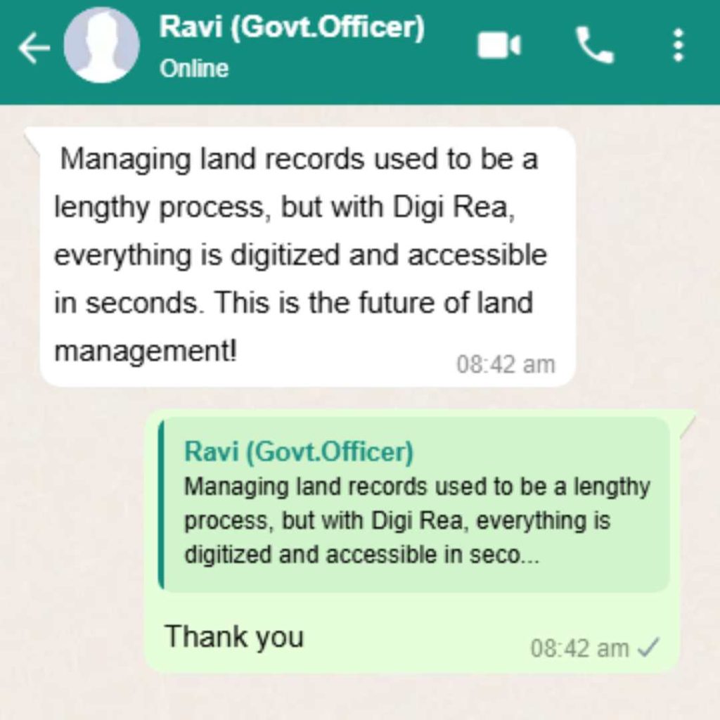
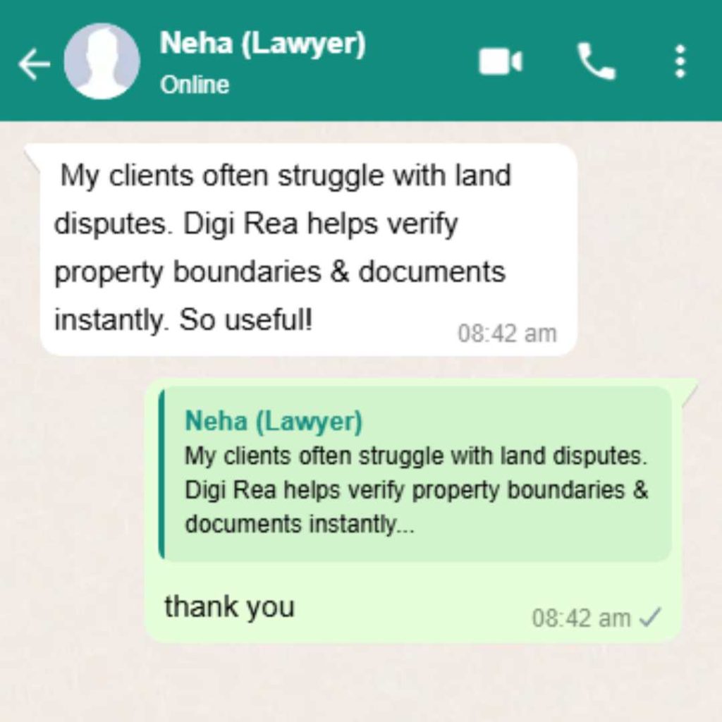
Government Officers & Advocates
Unmanaged Property Can Lead to Unexpected Problems!
When land is not managed properly, many unexpected issues can arise. Someone might build on your land without permission, boundaries can get disputed, or important papers may get lost. You may also miss new developments happening nearby that could change your land’s value.
Sometimes, people don’t even realize they’ve lost ownership or faced legal trouble—until it’s too late.
That’s why proper land management is important.
With Digi Rea, you can:
Keep your land map, value, and documents in one safe place
Mark your boundaries clearly
Get alerts about nearby changes
Avoid legal problems and stay tension-free


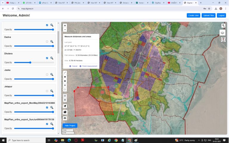
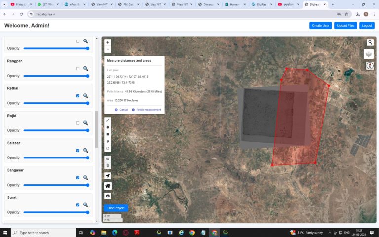
- Know where your land is and how big it is without stepping outside.
- Mark your land lines properly to avoid any confusion or dispute.
- No more lost papers or running to government offices again and again.
- Get updates about nearby projects or value changes that may affect your land.
Frequently Asked Questions
Digi Rea is a digital land management platform that helps you see your land on a map, mark boundaries, check property value, and store documents safely.
No, not at all! Digi Rea is made simple and easy for everyone to use—farmers, landowners, and even people with no computer experience.
Yes! You can use Digi Rea on your mobile phone, tablet, or computer—anytime, from anywhere.
Absolutely. All your information is stored securely and only you can access it. Your data is safe with Digi Rea.
Anyone who owns or manages land! Farmers, property owners, NRIs, developers, and even government officers can benefit from Digi Rea.